Seswantšho:Canada (geolocalisation).svg

Size of this PNG preview of this SVG file: 706 × 599 pixels. Other resolutions: 283 × 240 pixels | 566 × 480 pixels | 905 × 768 pixels | 1,207 × 1,024 pixels | 2,413 × 2,048 pixels | 1,084 × 920 pixels.
''resolution'' ya gofella (SVG faele, nominally 1,084 × 920 pixels, bogolo ba faele: 94 KB)
.svg)
| Description |
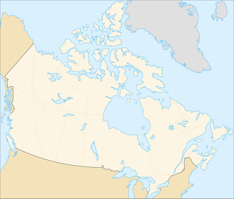
English: cropped version of Image:Carte administrative du Canada.svg for map location. (Lambert conformal conic projection from The Atlas of Canada) |
| Letšatšikgwedi | |
| Mothopo | Image:Carte administrative du Canada.png. |
| Mongwadi | STyx |
| Permission (Reusing this file) |
This file is licensed under the Creative Commons Attribution-Share Alike 4.0 International, 3.0 Unported, 2.5 Generic, 2.0 Generic and 1.0 Generic license.
|
| Other versions |
Derivative works of this file: |
Locations
Le cadrage est x=80px, y=166px, height=920, width=1084. Quelques positions :
| x | y | |
| pôle Nord | 475.5 | -159.5 |
| Alert | 565 | 9 |
| Vancouver | 77 | 678 |
| Montréal | 807 | 798 |
| Winnipeg | 442 | 753 |
| Iqaluit | 718 | 396 |
Histori ya faele
Pinyeletša go letšatšikgwedi/nako go bona faela ka tsela yeo ebego e le ka gona nakong yeo.
| LetšatšiKgwedi/Nako | Nkgogorupo-Nala | Bogolo | Mošomiši | Comment | |
|---|---|---|---|---|---|
| bjale | 03:48, 7 Dibokwane 2007 | | 1,084 × 920 (94 KB) | STyx | retouche mineure |
| 03:41, 7 Dibokwane 2007 |  | 1,084 × 920 (94 KB) | STyx | {{Created with Inkscape}} {{Information |Description= *{{fr}} Version recadrée et épurée de Image:Carte administrative du Canada.svg pour la géolocation du Canada. Le cadrage est x=80px, y=166px, height=920, width=1084. Quelques positions : <cent |
Tirišo ya Faele
Gago matlakala a hlomaganyago faeleng ye.
Global file usage
The following other wikis use this file:
- Usage on de.wikipedia.org
- Usage on fr.wikipedia.org
.svg)