Seswantšho:EU location POL.png

Size of this preview: 800 × 600 pixels. Other resolutions: 320 × 240 pixels | 640 × 480 pixels | 1,024 × 768 pixels | 1,280 × 960 pixels | 1,600 × 1,200 pixels.
''resolution'' ya gofella (1,600 × 1,200 pixel, bogolo ba faele: 470 KB, Mohuta wa MIME: image/png)

|
This locator map image could be re-created using vector graphics as an SVG file. This has several advantages; see Commons:Media for cleanup for more information. If an SVG form of this image is available, please upload it and afterwards replace this template with
{{vector version available|new image name}}.
It is recommended to name the SVG file “EU location POL.svg”—then the template Vector version available (or Vva) does not need the new image name parameter. |
| Description | |
| Letšatšikgwedi | |
| Mothopo | Own work |
| Mongwadi | David Liuzzo |
| Permission (Reusing this file) |
This file is licensed under the Creative Commons Attribution-Share Alike 4.0 International license. Attribution: David Liuzzo
|
poland
Histori ya faele
Pinyeletša go letšatšikgwedi/nako go bona faela ka tsela yeo ebego e le ka gona nakong yeo.
| LetšatšiKgwedi/Nako | Nkgogorupo-Nala | Bogolo | Mošomiši | Comment | |
|---|---|---|---|---|---|
| bjale | 02:43, 8 Mopitlo 2007 | | 1,600 × 1,200 (470 KB) | Tene~commonswiki | Optimised further using DeflOpt |
| 21:29, 23 Dibokwane 2007 |  | 1,600 × 1,200 (528 KB) | Tene~commonswiki | Optimised (0) | |
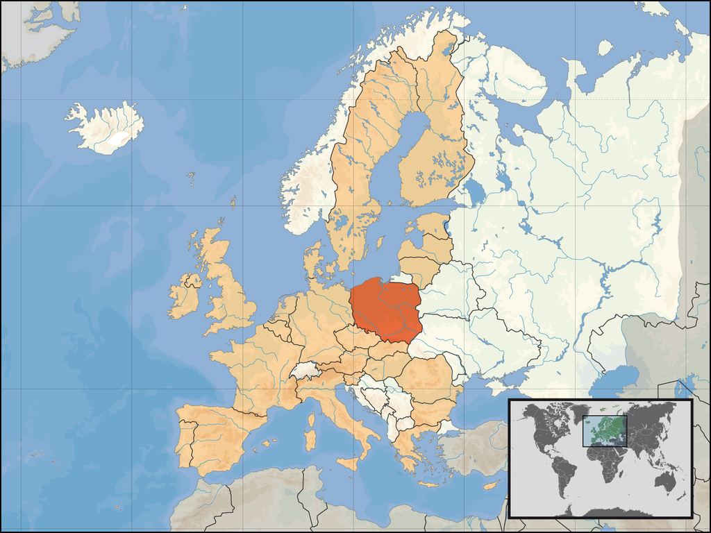
| 04:56, 1 Pherekgong 2007 |  | 1,600 × 1,200 (711 KB) | David Liuzzo | {{Information| |Description= {{de|Lage der Republik Polen in Europa und in der Europäischen Union am 1. Januar 2007 }} {{en|Location of Poland within Europe and the [[European Union |
Tirišo ya Faele
Gago matlakala a hlomaganyago faeleng ye.
Global file usage
The following other wikis use this file:
- Usage on az.wiktionary.org
- Usage on bg.wikipedia.org
- Usage on crh.wikipedia.org
- Usage on cs.wikibooks.org
- Usage on de.wiktionary.org
- Usage on en.wikipedia.org
- Usage on et.wikiquote.org
- Usage on fur.wikipedia.org
- Usage on hi.wikipedia.org
- Usage on hu.wikiquote.org
- Usage on it.wiktionary.org
- Usage on jam.wikipedia.org
- Usage on jv.wikipedia.org
- Usage on kg.wikipedia.org
- Usage on kn.wikipedia.org
- Usage on lad.wikipedia.org
- Usage on ltg.wikipedia.org
- Usage on mg.wikipedia.org
- Usage on mhr.wikipedia.org
- Usage on mrj.wikipedia.org
- Usage on pdc.wikipedia.org
- Usage on pl.wikiquote.org
- Usage on pl.wiktionary.org
- Usage on ro.wikipedia.org
- Usage on ro.wikibooks.org
- Usage on ru.wikipedia.org
- Usage on ru.wiktionary.org
- Usage on rw.wikipedia.org
- Usage on scn.wikipedia.org
- Usage on sr.wikipedia.org
- Usage on stq.wikipedia.org
- Usage on ta.wikinews.org
- Usage on tpi.wikipedia.org
- Usage on uk.wikipedia.org