Seswantšho:South Africa Mpumalanga location map.svg

Size of this PNG preview of this SVG file: 579 × 599 pixels. Other resolutions: 232 × 240 pixels | 464 × 480 pixels | 742 × 768 pixels | 989 × 1,024 pixels | 1,979 × 2,048 pixels | 1,031 × 1,067 pixels.
''resolution'' ya gofella (SVG faele, nominally 1,031 × 1,067 pixels, bogolo ba faele: 175 KB)
Kakaretšo
| Description |
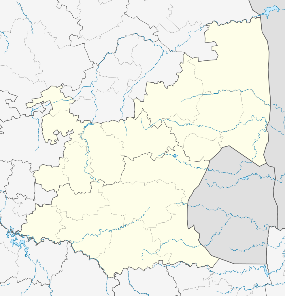
English: Location map of Mpumalanga
Equirectangular projection, N/S stretching 110%. Geographic limits of the map:
|
| Letšatšikgwedi | |
| Mothopo |
|
| Mongwadi | Htonl |
| Permission (Reusing this file) |
I, the copyright holder of this work, hereby publish it under the following license: This file is licensed under the Creative Commons Attribution-Share Alike 3.0 Unported license.
|
| Other versions | File:South Africa Mpumalanga relief location map.svg, File:Blank map of Mpumalanga (2011).svg |
.svg)
Histori ya faele
Pinyeletša go letšatšikgwedi/nako go bona faela ka tsela yeo ebego e le ka gona nakong yeo.
| LetšatšiKgwedi/Nako | Nkgogorupo-Nala | Bogolo | Mošomiši | Comment | |
|---|---|---|---|---|---|
| bjale | 22:21, 6 Pherekgong 2013 | | 1,031 × 1,067 (175 KB) | Htonl | == {{int:filedesc}} == {{Information |Description ={{en|Location map of en:Mpumalanga Equirectangular projection, N/S stretching 110%. Geographic limits of the map: * N: 23.75° S * S: 27.75° S * W: 28° E * E: 32.25° E}} |Source = *... |
Tirišo ya Faele
More than 100 pages use this file. The following list shows the first 100 pages that use this file only. A full list is available.
- Acornhoek
- Alexandria, Mpumalanga
- Alkmaar, Mpumalanga
- Balmoral, Mpumalanga
- Barberton, Mpumalanga
- Belfast, Mpumalanga
- Bethal
- Boekenhouthoek
- Bolla-Tau
- Boschfontein
- Bosoord
- Botshabelo, Mpumalanga
- Buffelspruit
- Bushbuckridge
- Casteel
- Charl Cilliers, Mpumalanga
- Clare, Mpumalanga
- Cunningmoor
- Dalmanutha
- Delmas, Mpumalanga
- Dullstroom
- Edinburgh, Mpumalanga
- Eloff
- Emalahleni
- Embalenhle
- Emjindini
- Ermelo, Mpumalanga
- Evander, Mpumalanga
- Graskop
- Hazyview
- Hectorspruit
- Hendriksdal
- Hendrina
- Hluvukani
- Jeppes Reef
- Kaapmuiden
- Kaapsehoop
- Kabokweni
- Kamatsamo
- Kiepersol, Mpumalanga
- Kildare, Mpumalanga
- Kinross, Mpumalanga
- Klarinet
- Klipfontein, Mpumalanga
- Komatipoort
- Kriel, Mpumalanga
- Krugerspos
- KwaMhlanga
- Kwaggafontein
- Langeloop
- Leandra, Mpumalanga
- Leroro
- Leslie, Mpumalanga
- Lillydale, Mpumalanga
- Loopspruit
- Louieville
- Ludlow, Mpumalanga
- Lydenburg
- Machadodorp
- Madras, Mpumalanga
- Magudu
- Malalane
- Marloth Park
- Mathys Zyn Loop
- Matibidi
- Matsulu
- Mbuzini, Nkomazi
- Middelburg, Mpumalanga
- Moremela
- Nelspruit
- Newington, Mpumalanga
- Ngodwana
- Ogies
- Pankop
- Pilgrim's Rest
- Rietkol
- Rolle, Mpumalanga
- Ronaldsey
- Rooiboklaagte
- Sabie
- Schulzendal
- Secunda, Mpumalanga
- Sheba, Mpumalanga
- Sheepmoor
- Simile
- Siyabuswa
- Skukuza
- Somerset, Bushbuckridge
- Steenbok, Mpumalanga
- Tjakastad
- Tonga, Mpumalanga
- Trichardt
- Vaalbank
- Verulam, Mpumalanga
- Vlakbult
- Vlakfontein
- Waterval Boven
- Waterval Onder
- Welverdiend, Bushbuckridge
- White River, Mpumalanga
View more links to this file.
Global file usage
The following other wikis use this file:
- Usage on af.wikipedia.org
- Nelspruit
- Ermelo, Mpumalanga
- Witbank
- Pelgrimsrus
- Graskop
- Marlothpark
- Dullstroom
- Breyten
- Carolina
- Amsterdam, Mpumalanga
- Amersfoort, Mpumalanga
- Badplaas
- Chrissiesmeer
- Perdekop
- Piet Retief, Mpumalanga
- Morgenzon
- Volksrust
- Wakkerstroom
- Lydenburg
- Barberton
- Standerton
- Evander
- Sabie
- Secunda
- Middelburg, Mpumalanga
- Machadodorp
- Greylingstad
- Delmas
- Kaapsehoop
- Balfour, Mpumalanga
- Hazyview
- Bethal
- Nelspruit-lughawe
- Loopspruit
- Kinross
- Hectorspruit
- Kaapmuiden
- Vaalbank
- Komatipoort
- Waterval-Boven
- Sjabloon:Liggingkaart Mpumalanga
- Malalane
- Hendrina
- Trichardt
- Ogies
- Kriel
- Mashishing
- Sheepmoor
- Witrivier
- Mac-Macwaterval
View more global usage of this file.